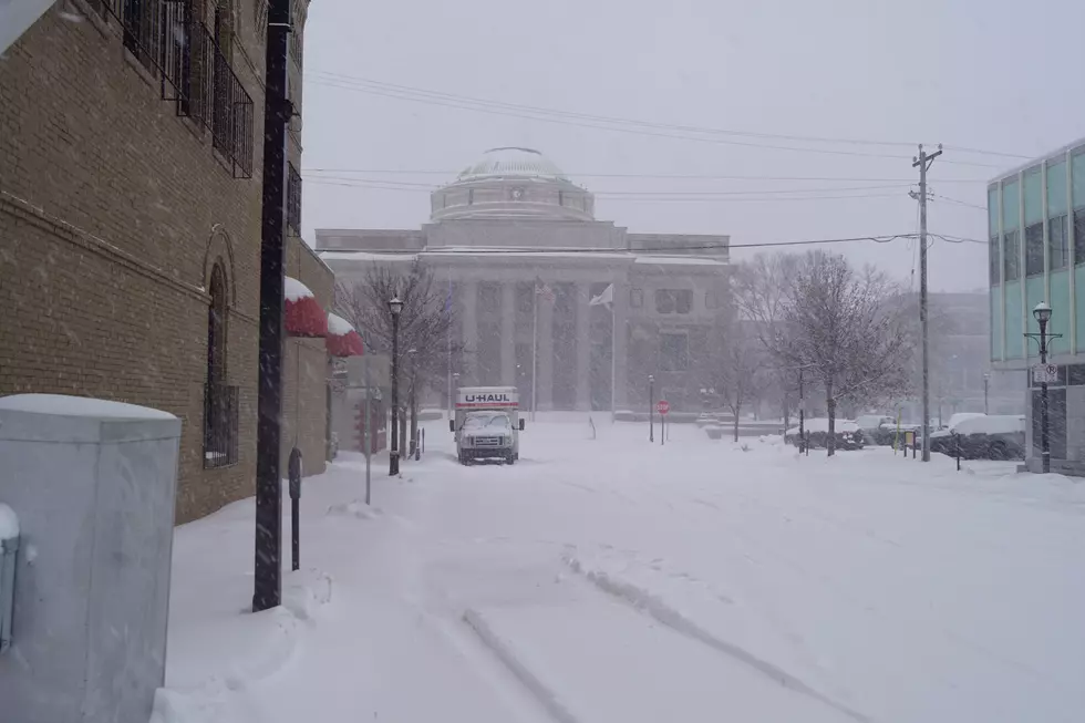
Winter Storm Setting It’s Sights on Us Late This Week
According to the National Weather Service, a winter storm capable of producing significant snowfall will move out of the Rockies reaching us Wednesday through Friday -- followed by very cold air with below-zero or single digit highs.
At this time, specific snowfall amounts and locations & timing are not clear as the storm system is still several days away.
National Weather Service
From the National Weather Service this morning: Mild temperatures to start the week and then a strong storm system is expected to impact much of the Upper Midwest. Snow chances return late in the day on Wednesday across the north, and then across the central and southern Thursday and Thursday night. In the wake of the storm, Arctic air will blast into the region for Christmas.
More From 103.7 The Loon