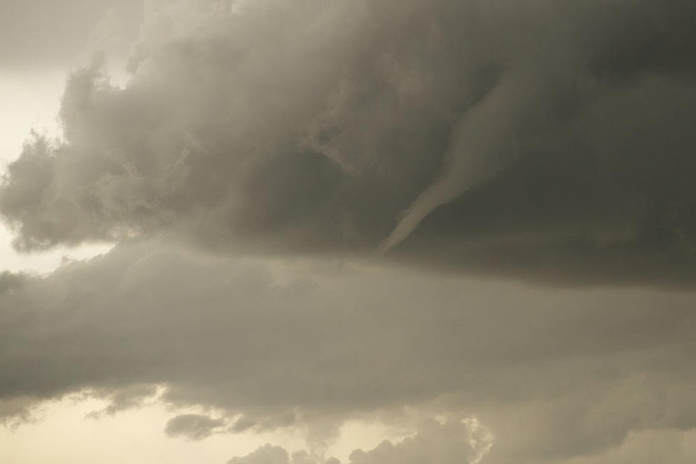
Amateur Storm Chaser Shares Concerns Over Minnesota Storm Activity
CONCERNING WEATHER FOR MINNESOTANS OVER THE NEXT FEW DAYS
I follow Minnesota Storm Chasers on Facebook, and saw a message yesterday that I thought might be concerning for many in Minnesota. Although Michael Crow is not a professional, he has learned a lot about the weather, and he posts his thoughts online to the Minnesota Storm Chasers Facebook Group.

MICHAEL CROW'S THOUGHTS
I asked Michael what he thought about the current weather conditions for today, Monday, August 26th, and over the next few days. This is what he told me:
Well, I'm an amateur, not a professional. I have learned a lot about weather, and I post online on the MN Stormchasers group.
I do come up with forecasts; but like I said, I'm an amateur. However, it appears that a lot of storm chasers agree with me. I know a lot of storm chasers are heading to that area I have circled in red. Reed Timmer is going to be there and he's the biggest stormchaser alive.
There's nothing 100% as to where this will go. But for tornadoes, it looks like that circled area.
It appears that a lot of storm chasers agree with me. I know a lot of storm chasers are heading to that area I have circled in red. Reed Timmer is going to be there and he's the biggest stormchaser alive.
There's nothing 100% as to where this will go. But for tornadoes, it looks like that circled area.
There will be windbags as well, which are the gusts on the leading edge of the storms. Some places could see 90 mph straight-line winds. That area is just north of St. Cloud down to the border of IA and east into the Twin Cities.
It seems that it will start with isolated cells coming across from South Dakota. These are the cells that could be tornadic. As it moves east, the cells will link up and create a line that could bow. If it bows, we could see widespread dangerous winds.
We won't know how that will play out until we start seeing the storms pop. But it is expected to connect somewhere between just west of Hutchinson, and maybe the Twin Cities and it could stretch from the St. Cloud Area to Iowa.
NEW INFORMATION
Also, new information just came in.
There appears to be a hard cap that was not expected. A 'cap' is a layer of warm air in the atmosphere that keeps the hot wet air below, and the cool dry air above from mixing and creating the energy to produce storms.
The cap turns out to be looking quite strong. It is possible this could prevent the major storms from forming this early afternoon and evening and instead could make the second wave overnight more powerful, as the cap could break overnight.
We will need to see temps well over 90 happen for the cap to break or the cloud cover to break. It can literally be a difference of 1-3 degrees from the forecasted temps. So, if it actually gets to 90 instead of 92 in the metro we might not see storms, if it gets to 92-94 it might break the cap making storms pop off.
So still some uncertainty about the first wave. However, if the first wave doesn't happen, the potential for the second wave could be very dangerous. It's like a boiling pot right now. The cap (lid) is still on and the longer it stays on the worse it will be if it breaks.
Come Visit Lake Henry, Minnesota in Pictures
Come Visit South Haven, Minnesota in Pictures
Come Visit St. Joseph, Minnesota in Pictures
More From 103.7 The Loon


