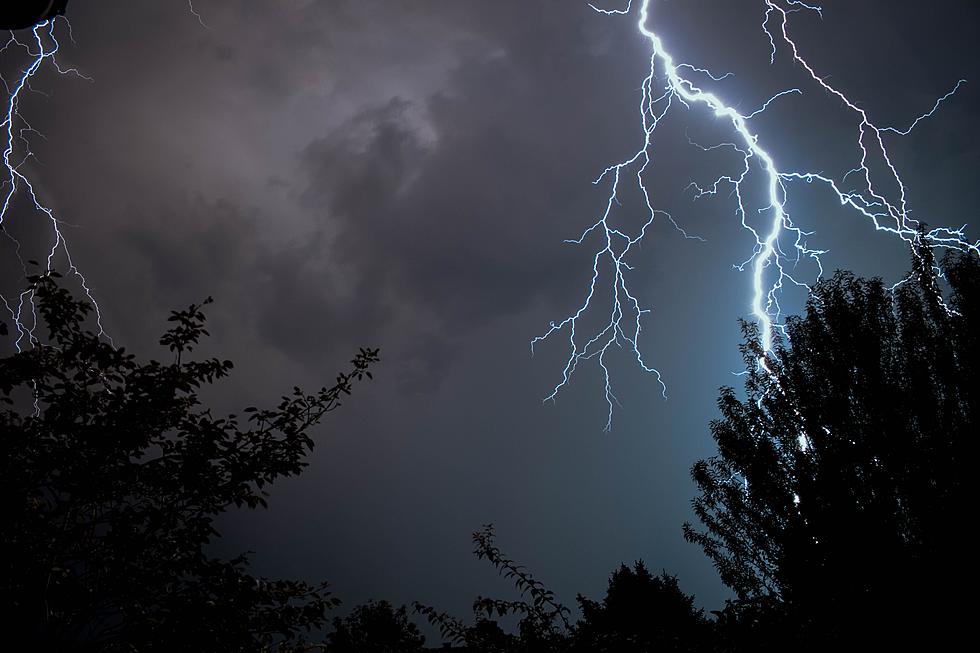
The National Weather Service says there's an enhanced risk of severe weather across Central MN today, with damaging winds, large hail, and a few tornadoes possible.
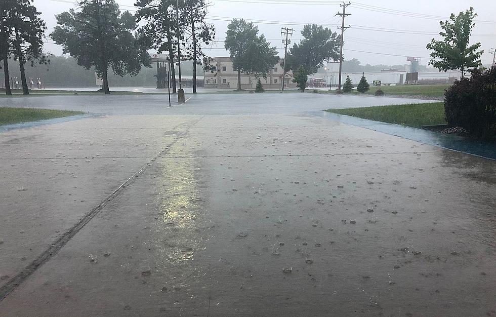
The National Weather Service is forecasting the possibility of severe weather across Central Minnesota this afternoon and this evening. Showers are likely mainly after 5pm. Winds are expected to increase to 10 to 15 mph in the afternoon. Winds could gust as high as 30 mph. Chance of precipitation is 60%.
The video, consisting of aerial shots presumably shot by drone, follows the Mississippi River around Brooklyn Park, highlighting basins and channels usually filled with and hidden by water.
Our long hot and dry stretch of summer across the area will finally wane, but not before severe storms are possible across Central Minnesota tomorrow night.
Meteorologist Megan Moulford joined me on WJON today. She says to alleviate the effects of the drought we would need an inch of rain for three straight weeks. She says who is hit hardest by the drought in Minnesota varies depending on the amount of rain they have received this summer.


![[WATCH] Mississippi River’s Historically Low Levels Reveal World Beneath](http://townsquare.media/site/68/files/2021/08/attachment-Mississippi-River-Tik-Tok.jpg?w=980&q=75)