Why We’re Seeing Less Rain in Central MN This Summer
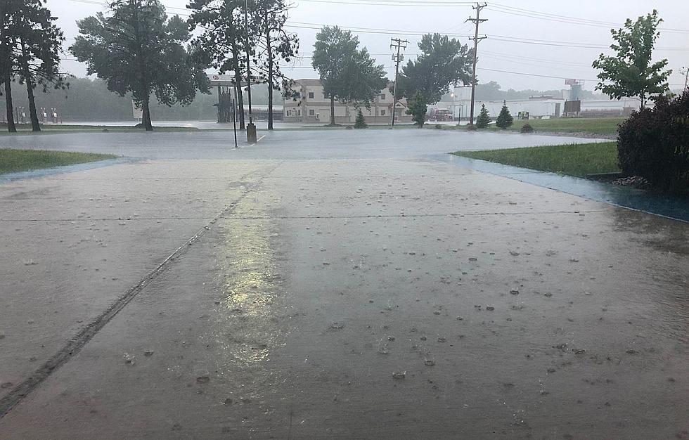
Minnesota is suffering from drought conditions and Central Minnesota has been hard hit by a lack of rain this summer. National Weather Service Meteorologist Megan Mulford joined me on WJON. She indicates much of the rain that has fallen in Minnesota this summer has been scattered and some areas have just not received the same amount as other locations.

Mulford indicates the last 3 years Central Minnesota has been in a La Nina weather pattern which means the surface temperatures off South America have been cooler than average causing a ridge pattern over the western portion of the United States with the Midwest under a trough. This pattern has led to more than usual dry air on the surface. Because of this Mulford indicates many rain showers or storms that develop dissipate because the dry air on the surface eats away at the moisture. She says there has also been cases where the rain is dissipating before it hits the ground. Mulford explains many of the storms that have happened this year include lightning without rain or very little rain.
Mulford indicates this has been a very quiet severe weather year. She says to fuel severe weather the atmosphere needs convective available potential energy which they call CAPE at the National Weather Service.
Mulford doesn't foresee a dramatic change to the current weather pattern and the typical dry late July and early August is likely to continue. She does acknowledge where and how much rain will fall is the most difficult thing for meteologists to predict.
If you'd like to listen to my conversation with Megan Mulford it is available below.
Come Visit Watkins, MN With Us in Pictures
More From 103.7 The Loon

![[WATCH] Mississippi River’s Historically Low Levels Reveal World Beneath](http://townsquare.media/site/68/files/2021/08/attachment-Mississippi-River-Tik-Tok.jpg?w=980&q=75)