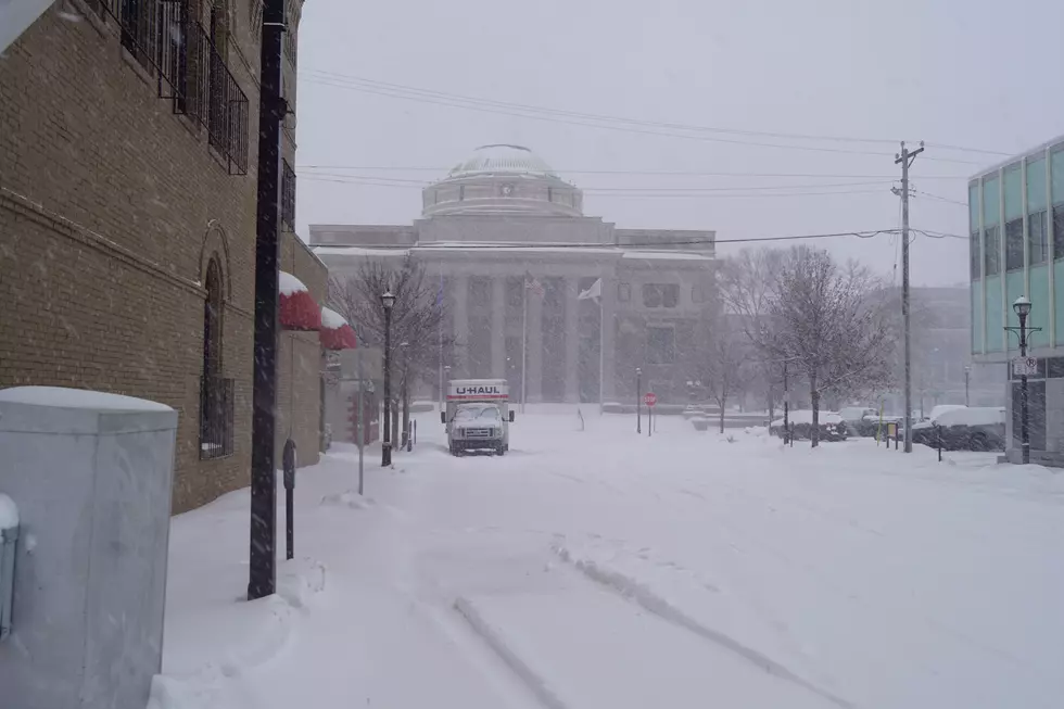
NWS Issues Winter Storm Watch For Areas Of MN Beginning Thursday
The National Weather Service in the Twin Cities has issued a Winter Storm Watch for areas of Minnesota starting Thursday afternoon and is expected to be in effect until Friday morning. The watch extends from portions of Central Minnesota down through Southern Minnesota.
A Winter Storm Watch has been issued for a large portion of southern Minnesota beginning Thursday afternoon. Several inches of snow are possible, accumulating over a 12-18 hour period. Stay tuned for further updates as the forecast continues to be refined!
A winter storm watch means that conditions are likely for severe winter weather, but not imminent. Current models of this storm show anywhere from 6 to 8 inches falling between St. Cloud and the Minnesota/Iowa border.
The National Weather Service in the Twin Cities did add to their online post that "the forecast continues to be refined!" so it's likely that snow totals and the impacts of the storm will change as it gets closer to the area.
Confidence is increasing that a large storm system will impact the Upper Midwest later this week. Accumulating snow, gusty winds, and hazardous travel conditions will be possible mid to late week. Additional light snow chances Wednesday and Saturday.
For now, this would be a good time to get those inches back on the sides of your driveways, and to get rid of any lingering slick spots on your sidewalk or driveway, if we are to see 6-8 inches of snow later this week, you might not be able to get to it for a while.
50 Famous Brands That No Longer Exist
LOOK: The 25 least expensive states to live in
Gallery Credit: Aubrey Jane McClaine
More From 103.7 The Loon


